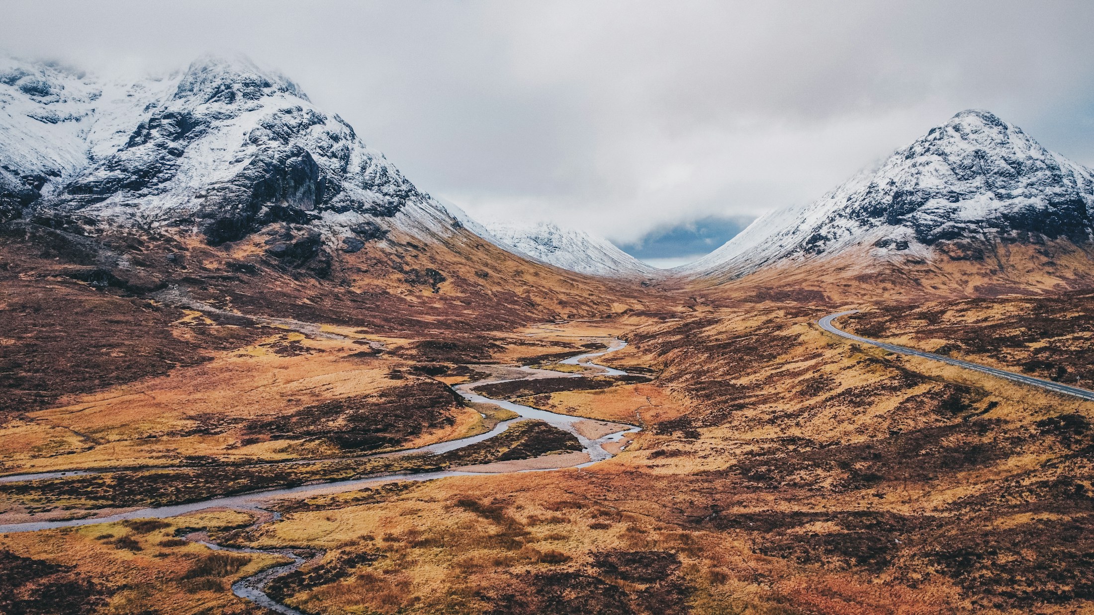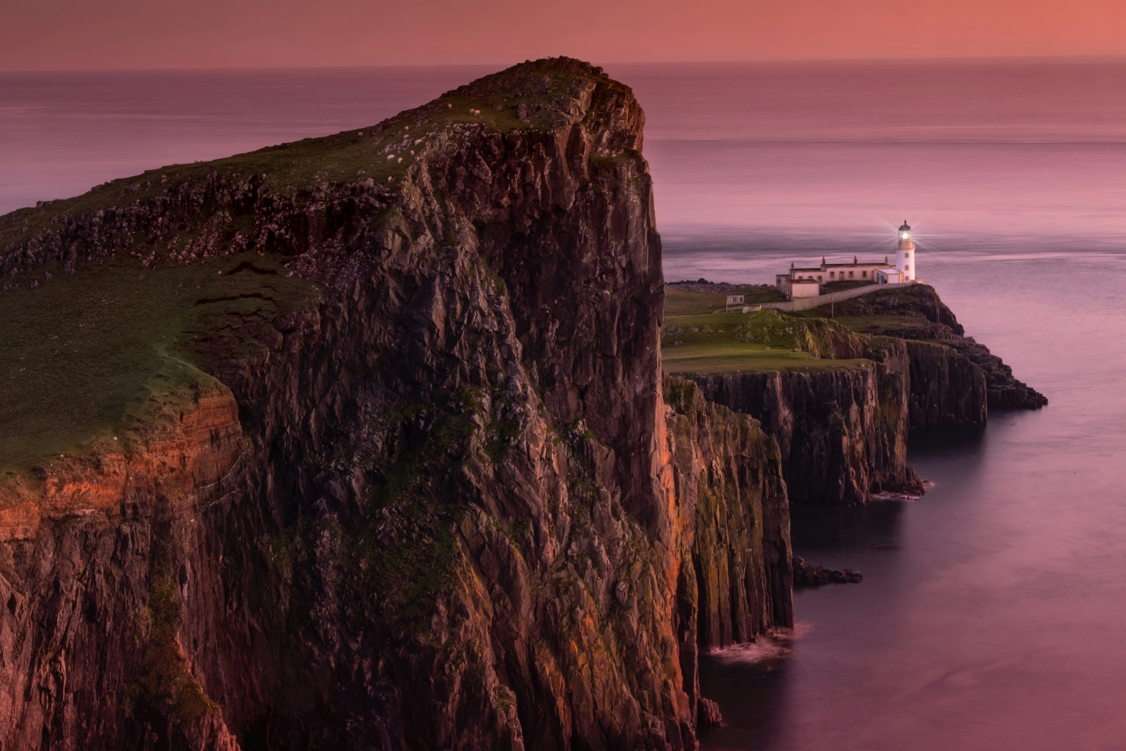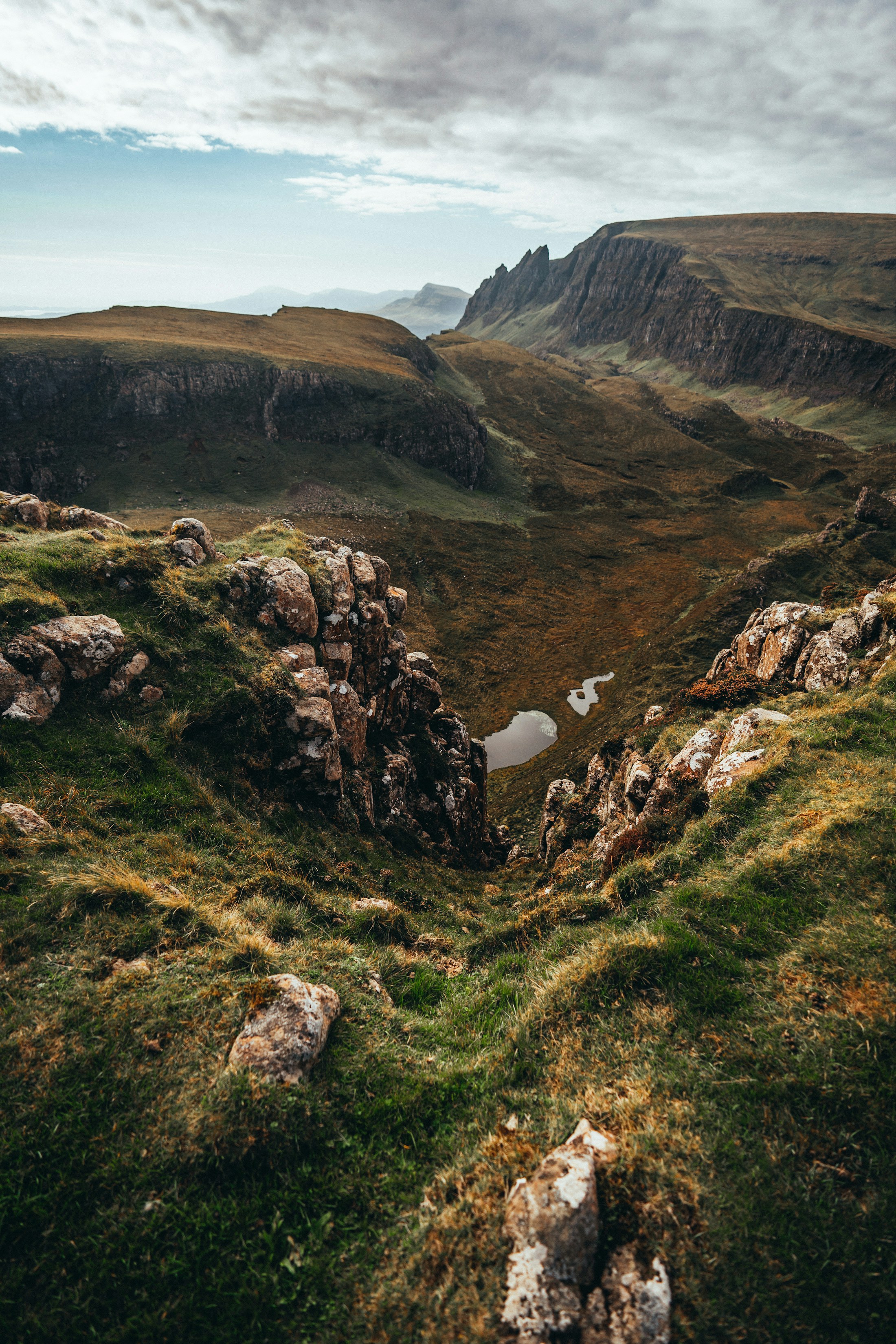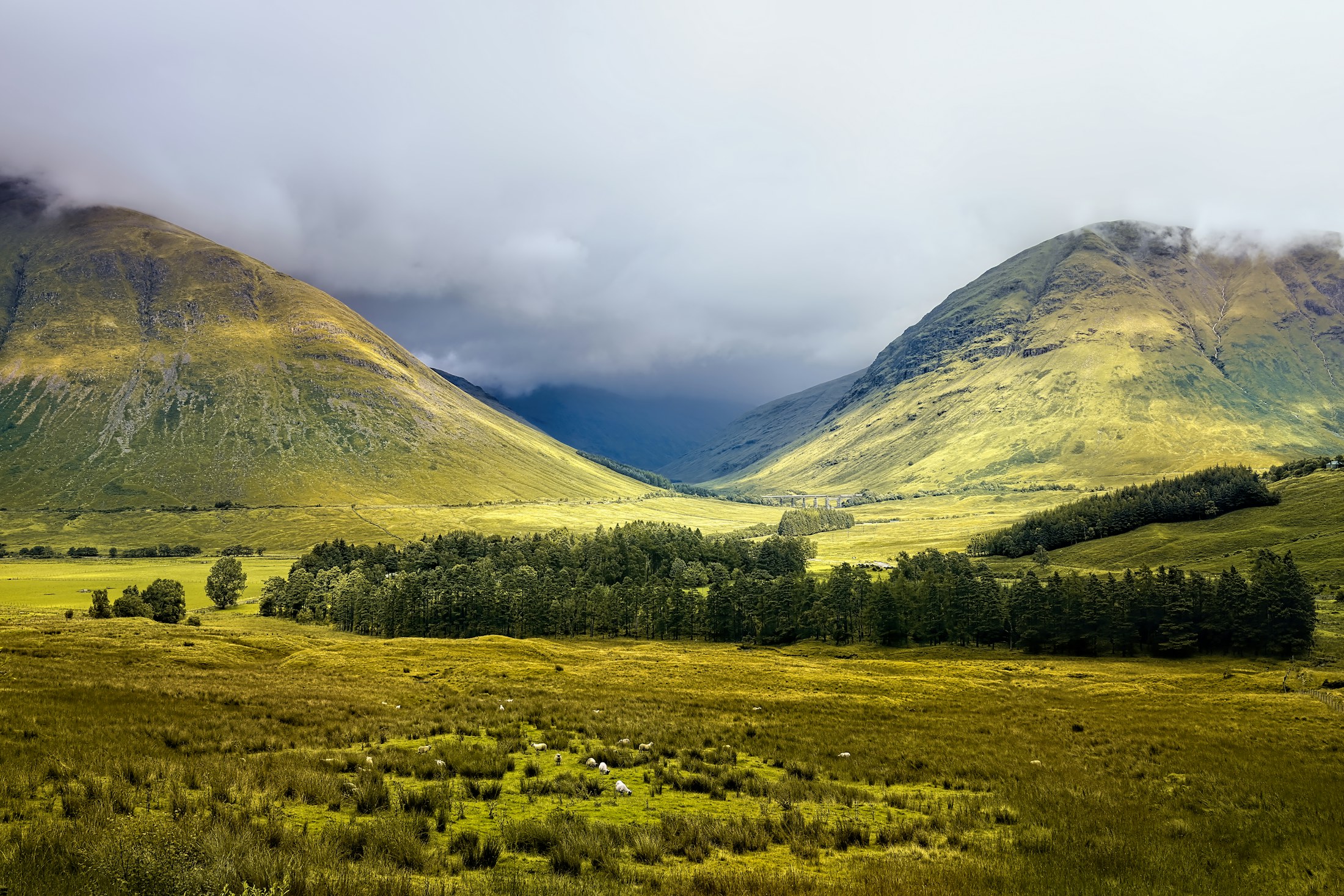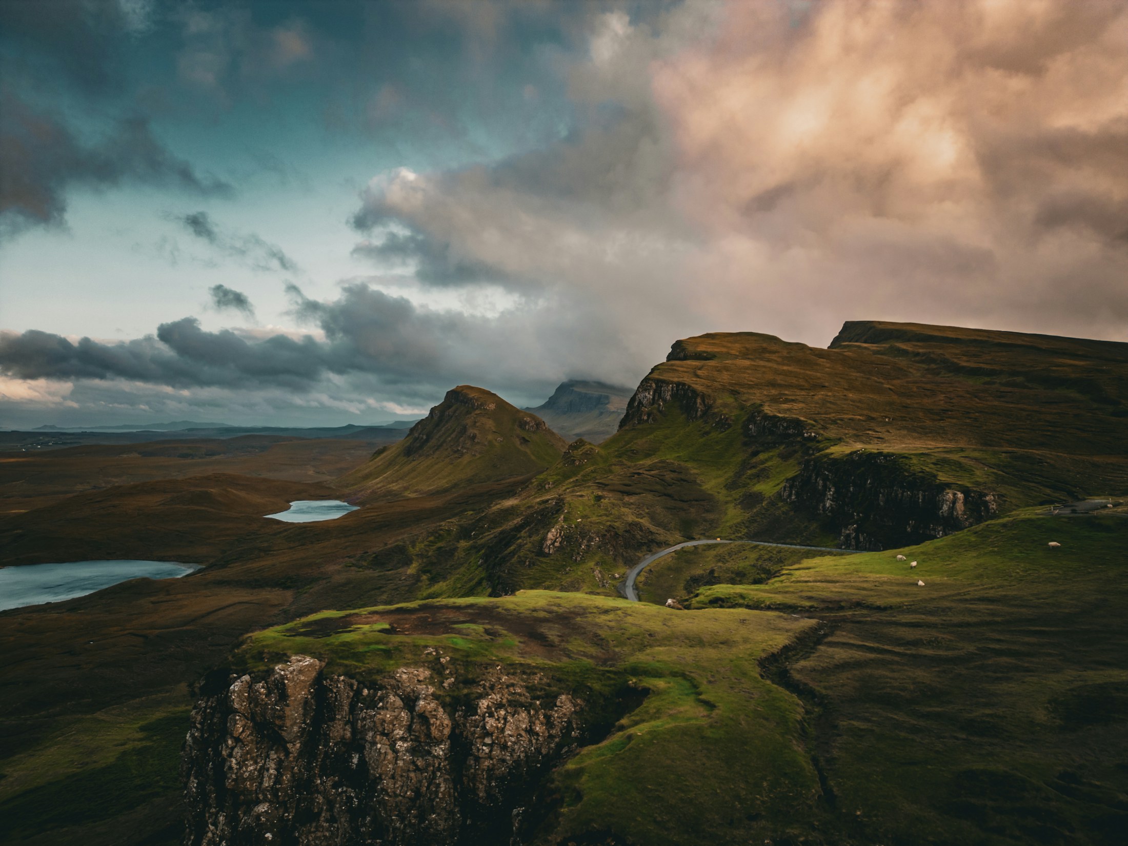
The green ridges and small lochs of the Quiraing on the Isle of Skye

Mountain · Glen · Coastline

The Quiraing

Isle of Skye · near Staffin

Photo: Johnny Briggs · Unsplash

The view

Layered landslip ridges, sea lochs and the Trotternish coast from one extraordinary hillside.

The Quiraing is not one fixed lookout but a whole hillside of folded terraces, freestanding pinnacles and sudden drops. From the upper path, the scene opens from the recognisable forms of the Prison and the Needle towards Staffin Bay, with the sea giving the landscape its sense of scale.

It rewards a slower read than a single photograph can offer. Shift a few metres and the relationship between ridge, lochan and coast changes; cloud can make the cliffs feel close and theatrical, while clear morning light reveals the long run of the Trotternish peninsula.

sunriseparkingshort walkphotography

The deeper story

A landscape shaped by movement

The Quiraing sits within the Trotternish National Scenic Area, protected for its distinctive basalt geology, landslip landforms and the crofting landscape around them. Its stepped, unsettled appearance comes from huge layers of rock moving over softer ground beneath—part of the wider Trotternish landslip landscape rather than a conventional mountain ridge.

Highland Council: Trotternish landscape context
Landscape
Basalt landslip topography
Look for
The Prison and the Needle
Coastal outlook
Staffin Bay and the Minch

What you can see

A landscape with
clear landmarks.

The Prison, the Needle, Staffin Bay and the mainland hills.

Direction of viewEast and south-east

Access notes

Know the ground
before you go.

The single-track approach can be congested. Stay on the path and expect sudden wind and rain.

UnderfootRocky path and grass

Photography notes

Make the weather part of the frame.

Arrive before first light for side-light across the ridges. A longer lens isolates the Needle and coastal folds.

Suggested focal length
16–70mm
Best light
Sunrise

Accessibility

The honest approach.

The roadside outlook is step-free; the main path is uneven and often muddy.

Surface
Rocky path and grass
View from parking
Yes

Part of a bigger day

Full-day road tripHighland Icons: West to Skye248 km · 8–10 hours

Close enough to combine

Nearby views

See on the map

Field note

Conditions change.
Good decisions travel well.

Access, weather and local restrictions can shift without notice. Check official guidance before setting out, respect closures and leave every viewpoint as you found it.