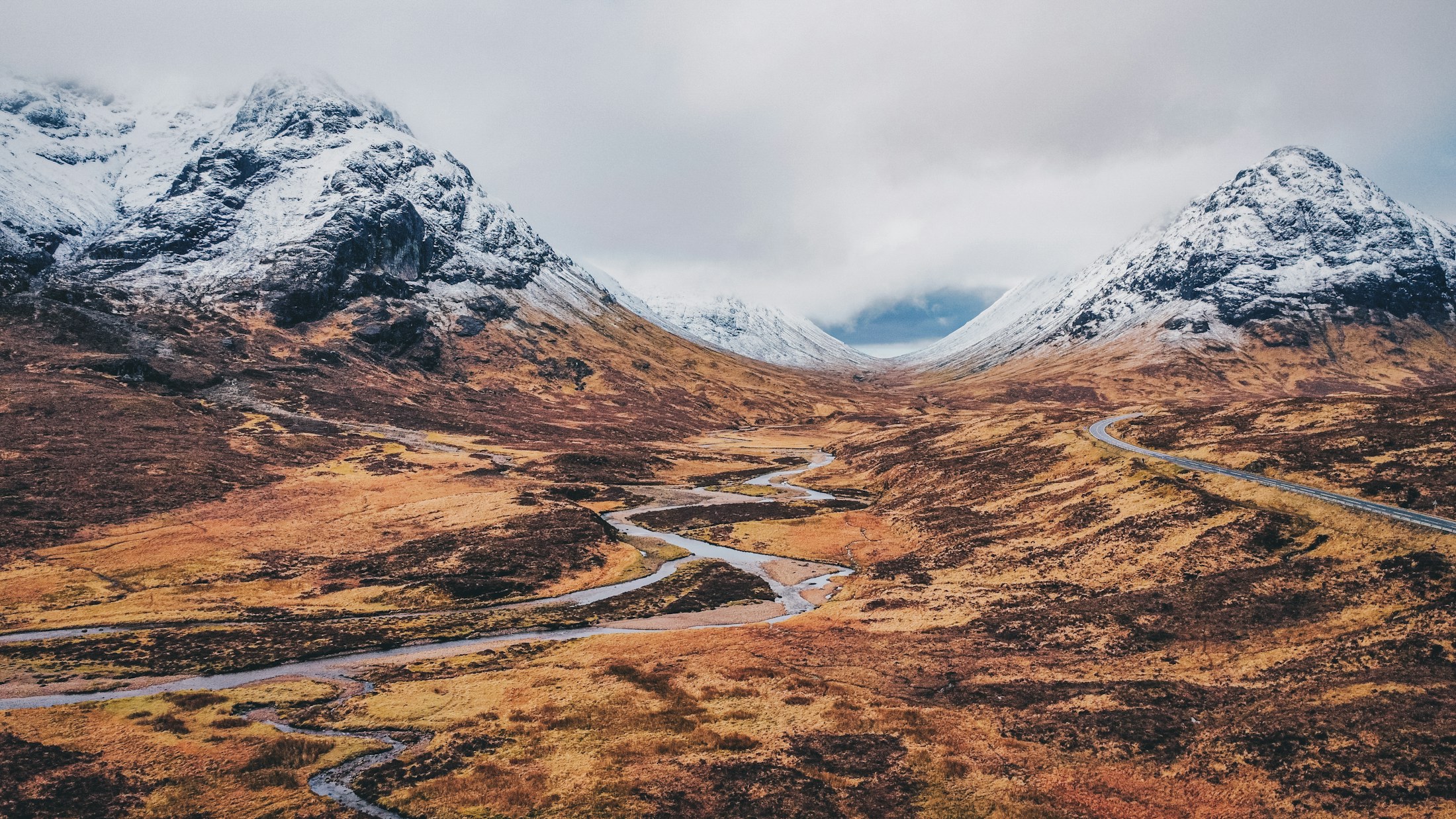
A road winding across moorland between snow-dusted Highland mountains

Mountain · Loch · Roadside panorama

Rannoch Moor from the A82

Glencoe · near Bridge of Orchy

Photo: Libby Penner · Unsplash

The view

A wide, road-accessible plateau of dark lochans, peat and distant Black Mount peaks.

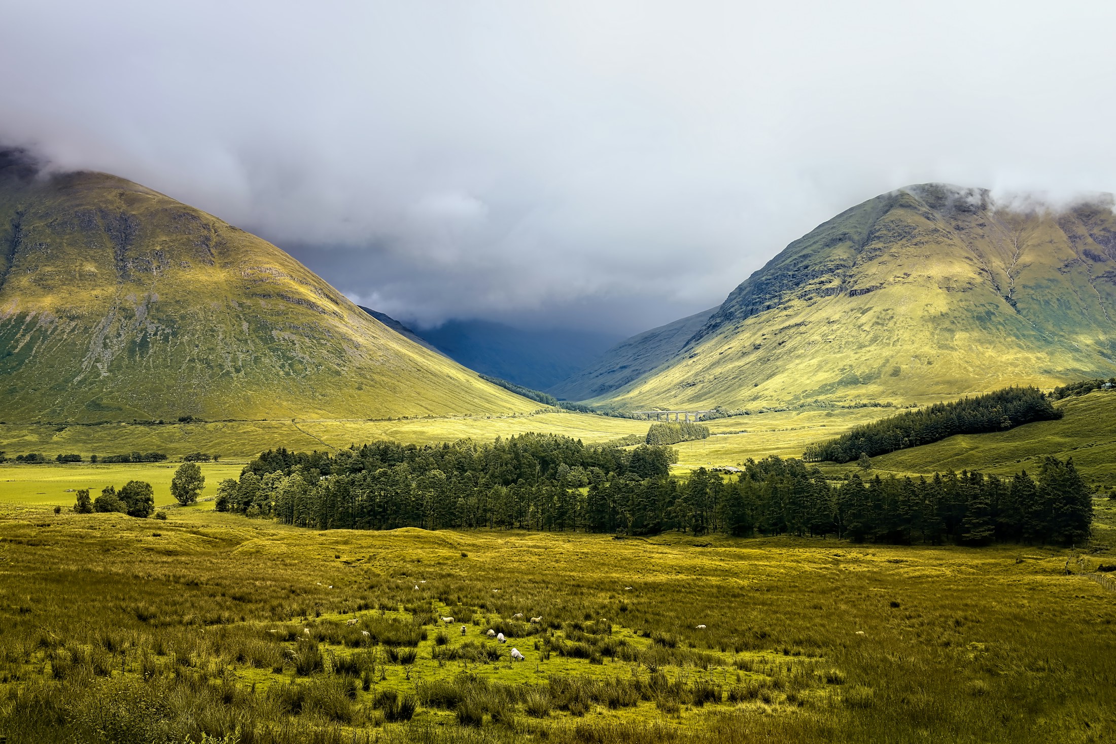
Rannoch Moor is an expanse rather than a single viewpoint. From the A82 lay-bys, water, peat and long mountain lines spread in several directions, leaving the weather to decide which part of the landscape comes forward.

It is most compelling when the light is unsettled. A passing shower can isolate one lochan or light a ridge of the Black Mount, then leave the whole moor subdued again. That constant change is the appeal: this is a view of an ecosystem and its atmosphere, not just a peak.

roadsideparkingwinterlow crowd

The deeper story

A rare high-level wetland landscape

Rannoch Moor is a high-level basin, roughly 300 metres above sea level, with extensive blanket bog, fens and scattered lochs and lochans. The protected landscape supports distinctive plants and animals; notably, the Rannoch-rush has its only known UK site here. The apparent emptiness is a fragile, living system.

JNCC: Rannoch Moor Special Area of Conservation
Setting
High-level basin at about 300m
Habitat
Blanket bog, fens and lochans
Rare plant
Rannoch-rush: only known UK site

What you can see

A landscape with
clear landmarks.

Black Mount, Ba Bridge and the moor’s scattered lochans.

Direction of viewAll directions

Access notes

Know the ground
before you go.

Never stop outside marked lay-bys. Open ground is wet, fragile and exposed.

UnderfootTarmac; boggy ground beyond

Photography notes

Make the weather part of the frame.

Fast-moving weather creates pools of light; a polariser can help manage lochan reflections.

Suggested focal length
24–200mm
Best light
Changeable light

Accessibility

The honest approach.

Several views are available directly from surfaced lay-bys.

Surface
Tarmac; boggy ground beyond
View from parking
Yes

Part of a bigger day

Full-day road tripHighland Icons: West to Skye248 km · 8–10 hours

Close enough to combine

Nearby views

See on the map

Field note

Conditions change.
Good decisions travel well.

Access, weather and local restrictions can shift without notice. Check official guidance before setting out, respect closures and leave every viewpoint as you found it.